|
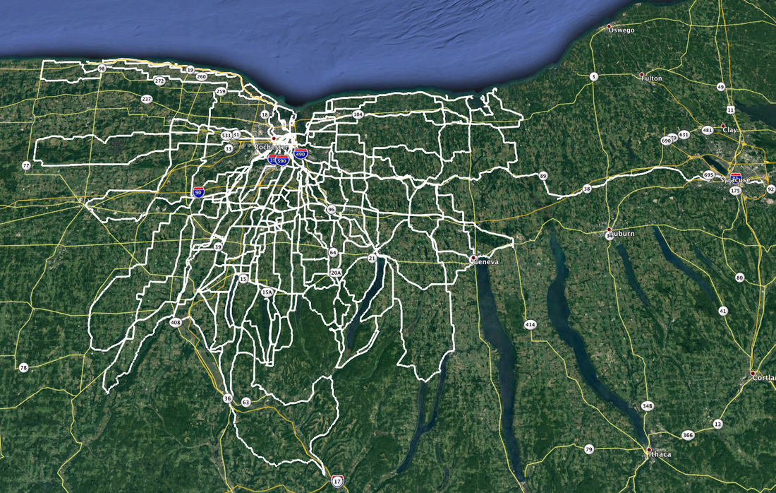
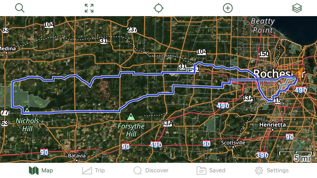
What a Great Year! On each of my century rides this year (in fact, ALL my rides), I've recorded a GPS track file with my smartphone and saved the details. Importing all 25 track files into Google Earth results in this: And that's just the centuries. It doesn't include all the other rides, solo, with friends and club rides, that to date total just over 9500 miles. The centuries (and double metric centuries) alone account for 2,879 miles. All but one of these centuries started from my back door. The only remote start was the Neil's Creek Century with Joe V. starting from Geneseo, and that's the only century I rode with anyone.
Compiling the stats, I fully expected to see that I did 10 of the centuries on my Rivendell Sam Hillborne "country bike", as Grant Peterson calls it. My Co-Motion Pangea and (surprisingly) the FrankenTrek each accounted for 5 and the remaining five were split up between my Surly Long Haul Trucker (2), Old Blue (2) and even my rarely used Bachetta Giro recumbent got in on the game (1). I did two centuries in "Moderate March", laid low during the crappy weather of April, but came back with a vengeance over May (5), June (6), July (4) and August (4). September began the slow down (3) and I wrapped it up with one last shot in October. Sadly, I haven't saved all my non-century rides tracks, but if I had saved all those to Google Earth, it would probably look like I took a wide paint brush and painted all of Monroe, Wayne, Ontario and Livingston counties. And I still have 500 miles to go to hit my 10K goal for the year. Maybe next year?
0 Comments
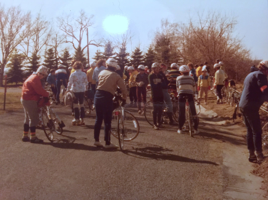
For as far back as I can remember, and likely long before that, the Season Finale ride of the Rochester Bicycling Club has always been the Webster Wander at the end of October. ======================== Above: Webster Wander circa 1979 / 1980. Paused at Inspiration Point Road. The late Dusty Miller, former Membership Chair, in the orange jacket at far left. Maybe Andy S. in the green sweatshirt? Likely Carolyn K. in the blue and yellow shell in the back right side? ======================== Yes, the club always kinda "quits" before winter, officially anyway, but many people ride deep into fall and some of us never quit at all. Impromptu rides by individuals and small groups of friends can still happen since our club uses Meet-Up to make the arrangements and I'm certain the next impromptu ride will likely get posted soon, since the Irondequoit Bay outlet bridge will soon swing shut to boaters and reopen to road traffic the first of November. But first, we wrap it up with the old Webster Wander classic, and yet again this year, the route was revised, but for different reasons. Over the years, the route has had a number of revisions based on volunteer members in the Webster area being the "host home" of the cider and donut stop. Even Karen and I hosted it for a while before we moved into the city from Webster. Our friends Ann & Steve have been hosting it for several years but wisely opted out this year due to the pandemic. Even with no cider and donuts, we still had a good number of folks join the ride this year, and the payback for the adventurous was no snow or rain (for once!). So of course, I just had to expand the day's ride a bit by riding to and from the ride, turning the 28 mile ride into a 60 mile wiggle. And much of it was trail riding … on the Pugsley, of course! Heading out to the start, I used a stretch of the Webster Bikeway, North Ponds Park, and the Bird Sanctuary Trail. On the way home, I visited the trails in the Whiting Road Nature Preserve and Gosnell Big Woods. I was riding with Karen when we passed the Four Mile Creek Preserve, so opted not to cruise in there … this time!
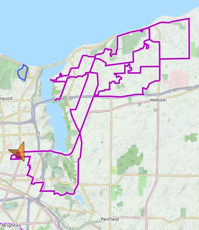
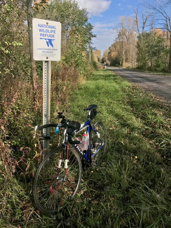
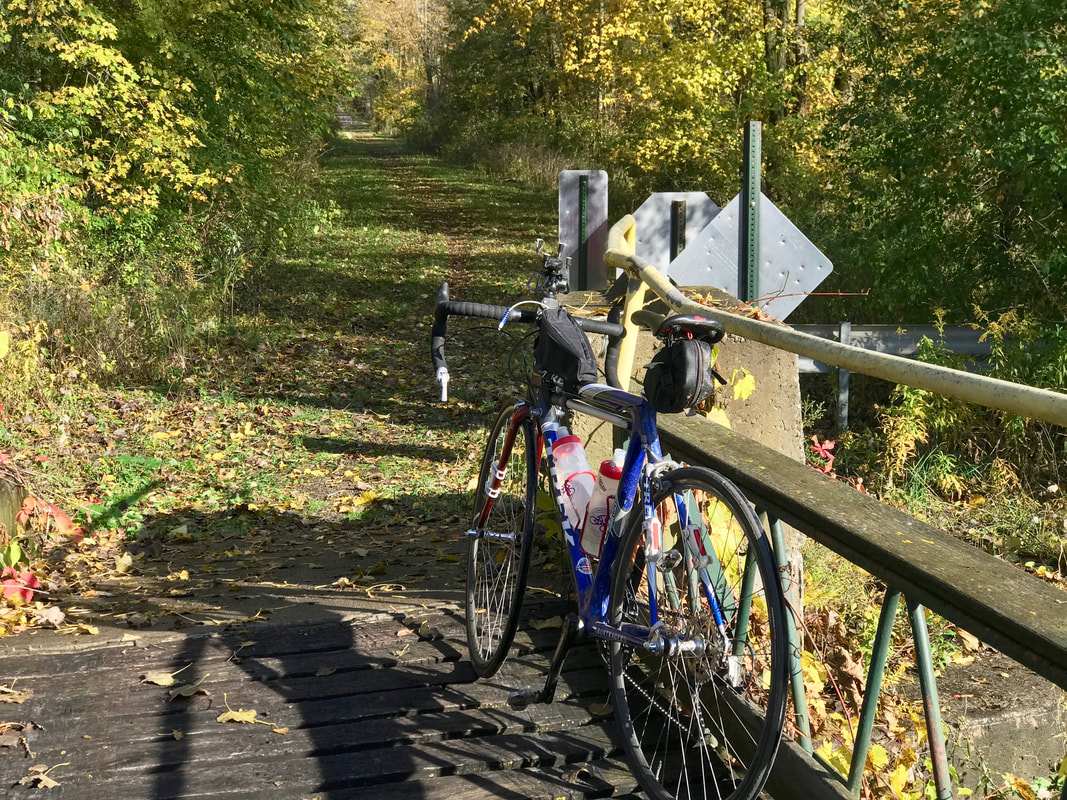
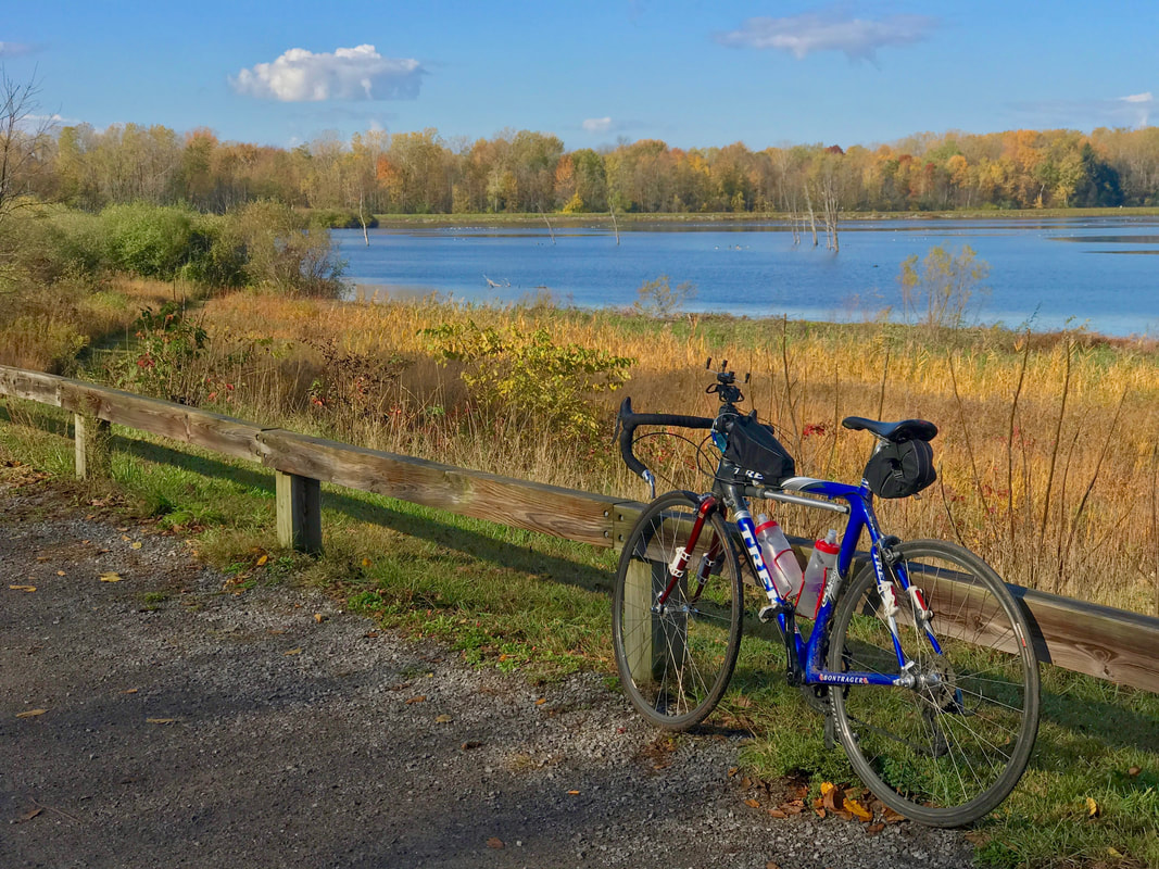
Sometimes I miss living out in Webster just because there are so many quiet roads and streets to wander, but I'm certain that thousands of this year's miles on the ticker were accumulated just within the borders of Rochester, so it's not like I've given up much. And Webster is right next door and available anytime. And speaking of "miles", as of this writing, I've logged 9,468 miles of my 10,000 mile goal for 2020. 532 to go and counting down … rapidly. Finally. After nearly a month "off" (from century rides), I finally got a nice weather-window day and jumped at the chance to knock off Century #25. And because of my preference to ride my centuries in daylight, I'm rapidly (or so I thought) running out of daylight to get the last one in before winter. With that in mind, I donned my hi-viz, rigged up the fast FrankenTrek with blinkies and set out before sunrise yesterday. In the city, there was enough light to navigate my way out of town; straight out across the center city and out Lyell Avenue (nicely paved with a bike lane too!) into the country and got to watch a beautiful sunrise in my mirror. I was headed west. I was determined to return before sunset no matter what. I grabbed the FrankenTrek which I can count on for fast riding, but old 700-23 tires that I'm convinced are jinxed (a flat on most rides is "normal") raise the threat of delays. And what do I do to mitigate the risk? Rather than mitigate, I only increased the odds of flatting, if not sustaining actual damage, by heading to the Iroquois National Wildlife Refuge. In the flat farmlands roughly halfway between Rochester and Buffalo, there are a pair of land management areas lying in a broad swath of lowland / wetland areas of which the Iroquois NWR is one, and the Tonawanda State Wildlife Management Area just west of there is the other. Our club has a short ride out around the Iroquois refuge (22 miles: RBC#35 - Wild Goose Chase) that we used to run years ago in the spring during the Canada geese migration season. Initially, Having never visited there, I thought of going out PAST the Iroquois refuge to the Tonawanda Area, but that would have added another 15-20 miles to my route further risking my odds of getting home by dark. Or so I thought. I had a very slight tailwind as I headed westbound on mostly quiet, flat and reasonably fresh pavement for most of the stretch. I was shocked to find myself entering the refuge on a dirt road (45 miles) in only three hours. Signs indicated that a bridge was closed ahead, but on a bike, I ALWAYS go ahead to check because bikes can frequently get through / across / around when cars can't. As luck would have it, a "car" bridge doesn't exist over the creek, but a pedestrian bridge does and leads to a short stretch of hiking trail to connect the two ends of Sour Springs Road. And it's "ridable", even on skinnies. Watching closely for "obstructions" under the tall grass and wet leaves, I proceeded down the trail till I got back on dirt leading to a viewpoint overlooking a marsh jammed with Canada geese and what I believe were loons. I should say "I believe" because although upstate New York is just barely south of the currently recognized range of loons in North America, I KNOW their sound intimately having spent a week vacationing at a cabin in the lakes region in far northern Wisconsin. I witnessed a strange phenomenon; perhaps just a coincidence. As I sat by the marsh eating 1/2 a cliff bar in the sunshine, a cloud passed over putting the pond in shade and suddenly, over the racket of a couple hundred geese, I hear the sound of loons. Spooky man! STILL hoping to get home before dark, I only paused for a few minutes and hit the road. The southerly winds weren't strong (yet) but were either headwind, tailwinds, or crosswinds depending on which left-right or right-left sequence of turns I made to essentially head east till I snagged the canal trail. Closer to the city, the winds picked up, and heading around the south end of the city on the trail put me squarely into the headwinds. No matter. I hammered out 102 miles in under 8 hours simply because I only stopped twice. The second time to eat the other half of my cliff bar at Long Pond Road where there's a couple benches next to an interpretive sign describing how "The Deep Cut" in the canal was constructed. Worth stopping for if you are out that way.
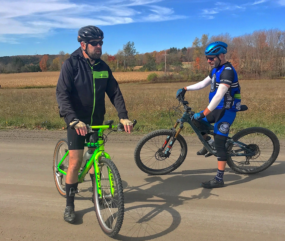
On the road at 7am and home before 3pm. Guess I could have gotten to the Tonawanda area after all, but I'm happy with the day's ride and now I'm "off-the-hook". With goal #1 exceeded by 15 (I initially planned only TEN centuries this year), I only have 600 miles to ride to hit goal #2: 10,000 miles in 2020. Or, maybe 11,000? Damn, I Love This Ride! RBC #150, Lyons Hollow, an "Adventure Ride" in club parlance but likely called a "gravel grinder" in modern times, is a 26 mile dirt/pavement mix in the hills south of Naples NY. One look at a topo map of the area immediately reveals that ANY bike riding in the area will involve some effort. The club's gps track file indicates the route has about 3,500' of climbing. Three of us met at the ride start on Sunday morning October 11th for some thrills in the hills. I took my Co-Motion Pangea with the totally appropriate Pinion gearbox for easy climbing, but with totally inappropriate 1.5" street tires ... just for fun. Jay had his cross bike with more appropriate tires and Les wisely brought a full-squish Ibis. It was a little cool at the start, but sunny, and by the time we reached the 1st hilltop (1,200' gain in altitude after only 5 miles of climbing, part on dirt), zippers were getting pulled and layers were about to be shed. A couple more drops of 400' and back up to 2000' altitude bring us to the top of Eveland Road. Depending on the season, recent weather, and when this "seasonal use" road was last graded, you never know what condition it might be in. Sometimes, it's been pretty ragged and washboarded, and in the fall, leaves cover some details you would much prefer remain visible as you try to pick a line that beats you up the least. But sometimes, it's in decent enough shape to let the bike rip. Jay and Les took advantage of their more appropriate wheel choices and took off, flying out of sight in no time. I, on my skinny wheels and rigid frame, resigned myself to a slow wander down the road thinking I should let some air out, but decided otherwise to save the others from waiting too long for me. I mentioned the physics trade-off I had to make to Les and he got it. On the one hand, if you go fast enough, you minimize the impacts of washboard by skipping over the tops. On the other hand, if your wheels are only touching ground intermittently, you are technically out of control. Fun choice! At the bottom, Jay decided to take 12 Mile Creek Road. The next challenge is climbing up Lyons Hollow. But unlike nearly killing myself by riding a single-speed up there a couple years ago, I used nearly all the insanely low gears on my Pinion drive and quite easily crested the top still breathing "normally", whatever that is for this route. Todd joined us at the top of Lyons Hollow by riding the route in reverse to intercept us. He was already in the area at his cabin nearby and pulled out his vintage Klein Attitude he keeps there. Good gearing AND good tires. After meeting Todd at the top, we moved on down Cook School Road (a bit rough again in places), down Route 53 to the base of Dillenbeck for a two mile climb up to the final crest. Again, I was left in the dust picking my way down Clute to Italy Valley Road where Todd broke off to get back to the cabin. Les and I now looked forward to the last big descent into Naples. The first part of East Hill Road rolls along on pavement before turning rough again for the steep part. Les disappeared again and I took likely twice as long to reach the bottom. I've seen motorcycles with full-on knobbies lose it on the tight downhill turns, so I'm in no hurry.
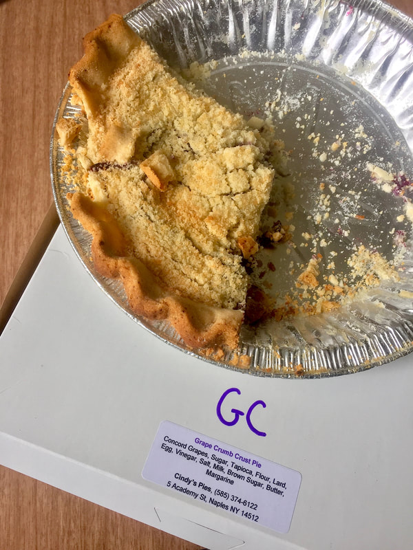
Like all great rides, this one finished under perfect weather and without damage to bikes or bodies, but this one had a special treat! The new ride start location for Naples rides, starting from the high school, is right across the street from Cindy's, the long-time grape pie bakery. Of course, we supported the local business. In these times of economic stress, it's the least we can do. |
|
 RSS Feed
