|
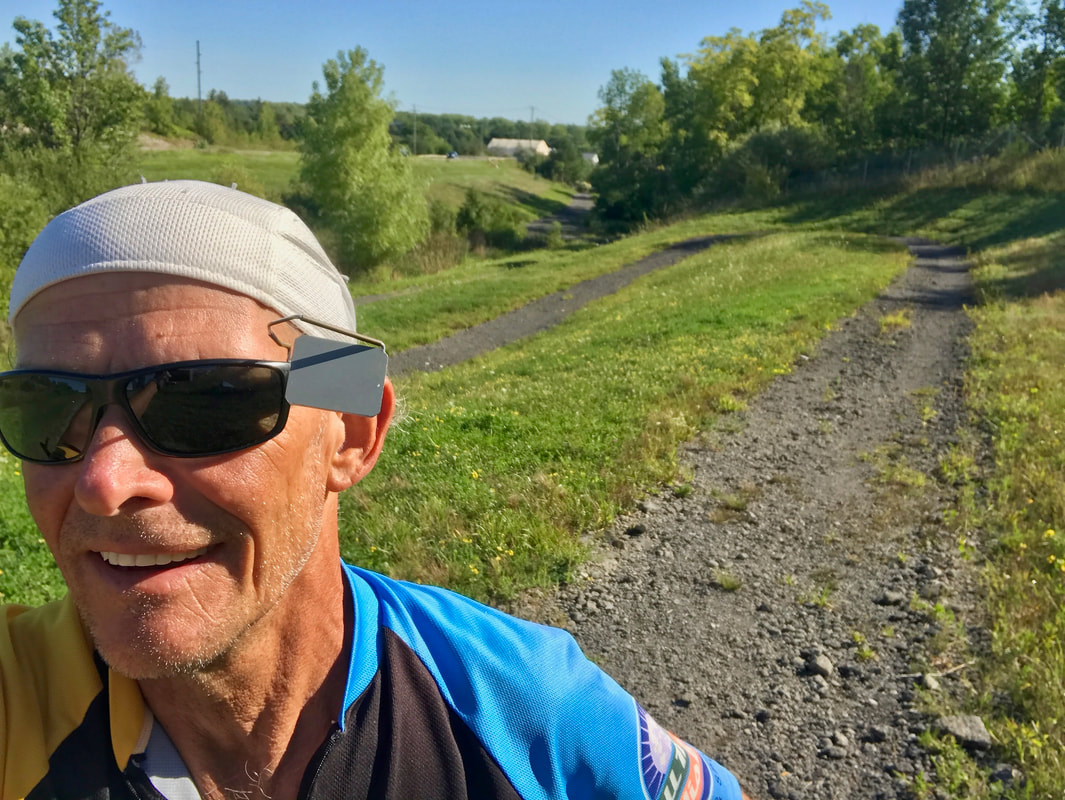
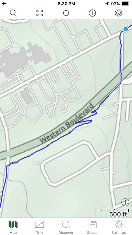
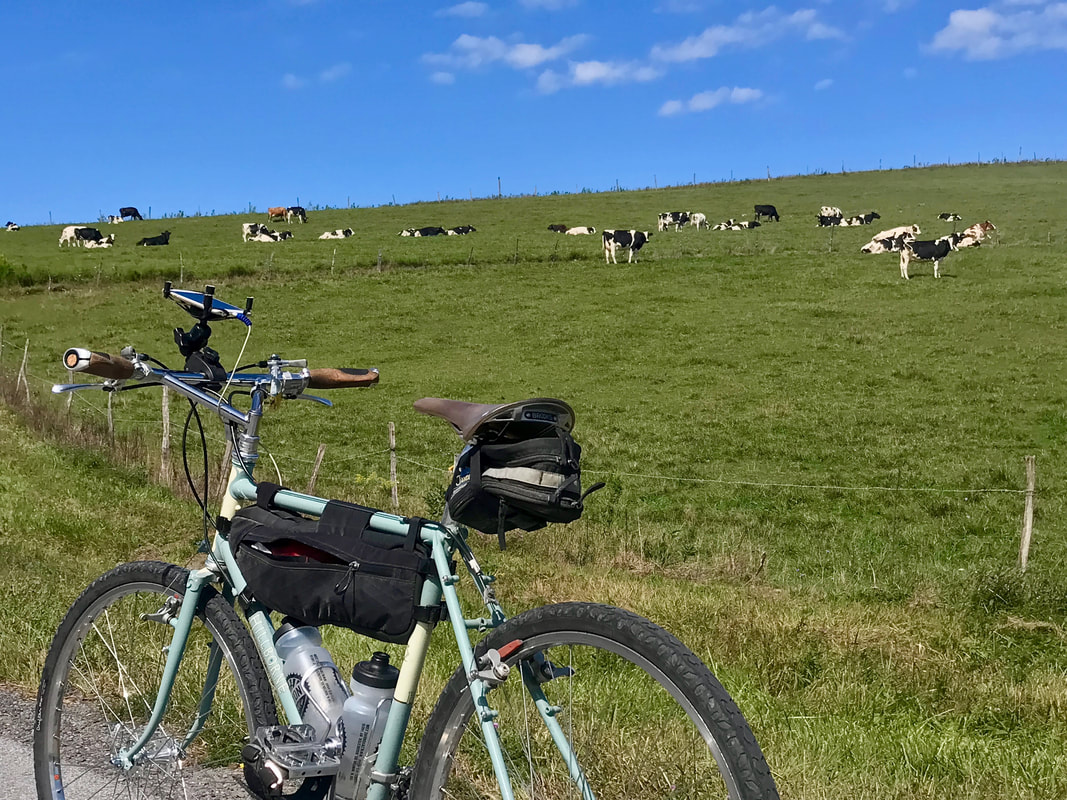
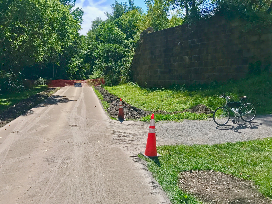
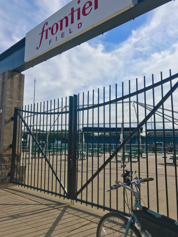
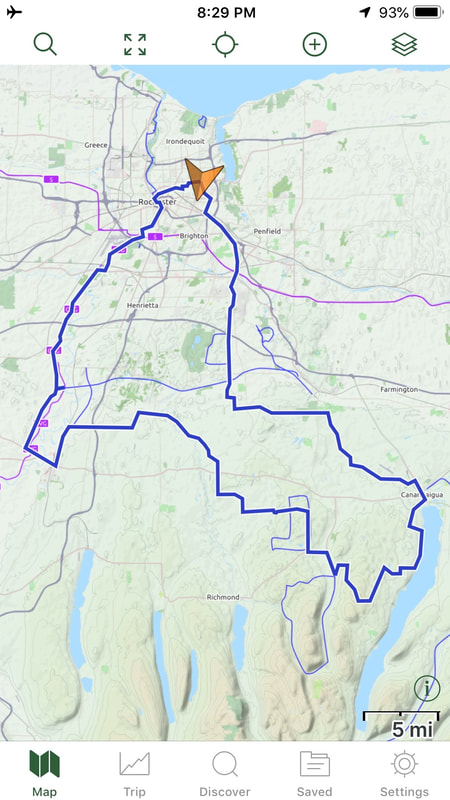
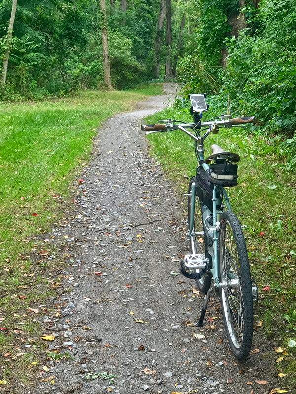
Ending my last post, I pondered " … do I stop at 20?". Well, the promise of nice weather sucked me in again, and I scoured the bike club map list for something new and interesting, yet starting close to home. Now, I've ridden nearly every mapped century our club has at some point over the years, but one popped up that I had actually never ridden and completely forgotten about. And as the Maps Director at the time, I even drew the map for it way back in 2004! The Frontier Century got it's name not for visiting new frontiers, but rather for it's start location: Frontier Field, Rochester's pro baseball stadium. That's plenty close enough to home and with a manageable distance of 103 miles. Yet another sunrise start time (6:30am and getting later every day) and I was headed off toward Canandaigua. And yes, I stopped once more at Dalai Java for refueling. I had a cup of coffee and a bowl of cereal at home, and was proud of my discipline to skip the chocolate chip muffin this early in the ride this time, but a strong red-eye served as my rocket fuel for the next few miles. Just at the edge of town, I remembered seeing an unknown trail on an earlier ride, splitting off alongside the 5&20 highway overpass. Route deviation #1. I had to, ya know. Very shortly, it became clear why the trail was named the "Switchback Trail". Not sure why it exists, or how it got there, but it's clearly not intended as a skinny-tire bike route regardless how short. The surface was loose crud, kinda like ground up and discarded asphalt at the beginning in the area of the switchbacks. But as it leveled out closer to the top, the surface improved and was pleasantly shaded from the sun. Where it popped out left me off route and I accepted that the day's ride would not meticulously follow, but only "sorta" run like the planned route. With a couple more variations, I got to the cool part: Goff Road. It's "a bit of a climb" over the ridge separating Canandaigua Lake from the Bristol Valley, but the payback on the west side is too much fun to miss. By the time I arrived at Bristol Center, I knew it might be wise to refuel since the next possible stop would be Honeoye Falls, many miles and hills later. A coke and a slice of pizza at the Dandy C-store was enough to carry me through the rolling cow-country … … and all the way through Honeoye Falls and beyond to Avon where I had to stop for a coke. Nice weather so far today and I've only had 1/2 of the first water bottle, but it's warming up and I know I'll start chugging it soon. Refreshed, I grabbed the increasing southeast tailwinds and flew down to the Genesee River and up the hill to West River Road, on the way to Scottsville. But heading up that way, I diverted temporarily once again. I finally discovered the access trail off River Road to Wadsworth Junction and had to go off route … and off-road … to check it out. For those unfamiliar, Wadsworth Junction is where the Genesee Valley Greenway and the Lehigh Valley Trails intersect on the west side of the Genesee River next to the old railroad bridge. And it was here that I had an epiphany! A few centuries ago (rides, not time) I "got detoured" off my planned ride up the Greenway by a Trail Closed sign on Route 5. It was not apparent why the trail was closed, but I believe I discovered why today. It seems some serious trail surface improvements are underway on the Greenway and it appears that the section(s?) between Canawagus Park in Scottsville and Route 5 are getting some attention. Looking like a firm base is getting built up, I suspect that the smooth and solid stone-dust treatment is on it's way! So much for the old rooty bumps and low spots that made fat-bikes the best choice for these sections. I'll look into it, but perhaps this time next year, we'll be cruising' here on not-so-fattie wheels. Fingers Crossed! I flagged Karen and told her I was headed up the Greenway toward the city, so she saddled up and headed south in time to intercept me at Genesee Valley Park. I told her I was on a mission, with a "destination". Despite my alternates, I "just had to" finish the ride properly in honor of the route's name. Wrapped it up with 105 miles in well under ten hours even with the delays and detours and only one slice of pizza for food en route. But DAMN … that red-eye carried me pretty far!
0 Comments
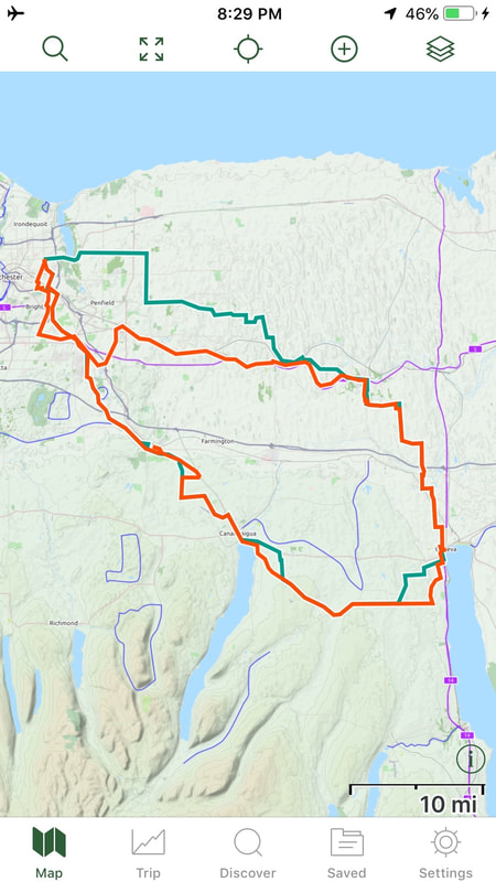
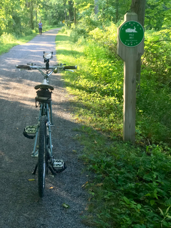
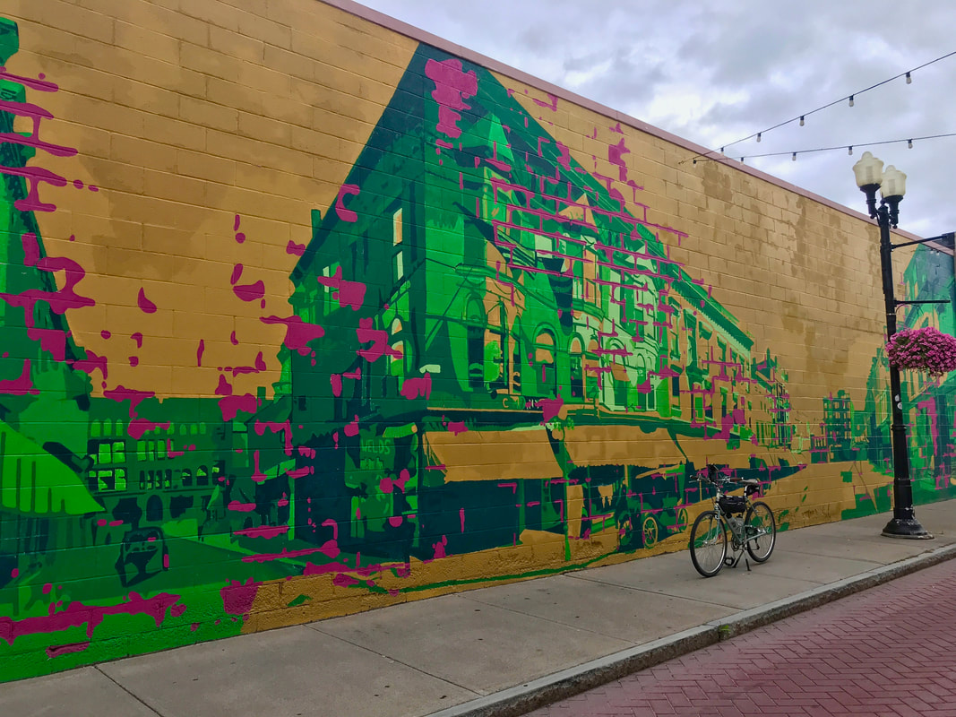
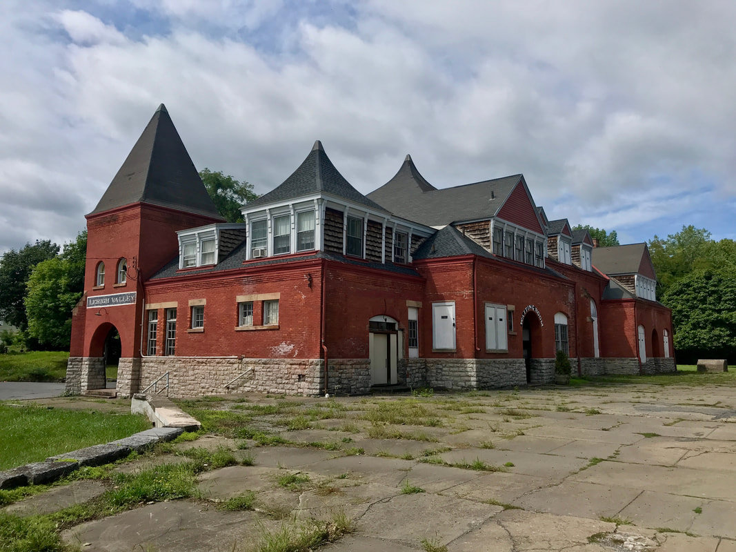
So, I've doubled the number of Century rides I originally planned to do for 2020. I figured ten was plenty, but what the heck … Covid and all. And like many others, I had a "planned" route for today, but strayed from it again. No rules. Green line (102 miles) was the plan; red line (116 miles) was the reality. It started late again … 7:00am … and I got through the city and Pittsford before traffic picked up. I've come to rely on getting in and out of the city on the multitude of trails we have around here, and the Auburn Trail through Fishers and Victor has had a number of improvements in recent times that made this morning's escape a real joy. That got me all the way out to Route 332 leading to Canandaigua, but I backtracked a bit to avoid the 4-laner, and snuck into Canandaigua past the airport. Of course, no visit to Canandaigua is complete without a stop at Dalai Java for a coffee and an extra treat of a chocolate chip muffin today. That's the rocket fuel I needed. I headed to the lake where I was recognized by a lady who had seen me way outside town. She was surprised to see how far I had travelled, but was really shocked by hearing I rode from Rochester, and especially where I was headed. I often get tickled by the response we get from non-cyclists when they hear about what is commonplace among us. Admiration when they hear of a 30 mile ride, incredulous when we mention a century, and thinking we need professional help if we wax on about cross-county tours. Always worth a giggle. I headed up the hill toward Gorham and discovered that CR18 had been freshly paved nearly the whole way, and with a slight tailwind, it was glorious! (Once over the hilltop, anyway.) Not much happening in Gorham so no stop there. But I did stop and wander around a bit in Geneva. First stop was on Linden Street to get a shot of a gorgeous wall mural … … another stop at the lake shore, of course, but then a surprise stop on Genesee Street where I discovered an old train station for the Lehigh Valley. And I could be wrong, but it looks occupied! At least there are two mailboxes at the driveway. Very cool. I can see myself getting to bed late after scouring the interwebs trying to find out what's up with that. Leaving Geneva and heading north to Newark had me zig-zagging a series of quiet country farm roads till reaching the Erie Canal. Needed a stop, only my second for the day, and grabbed a coke, salty chips, and extracted a banana from my bag before it got smooshed too bad. By this time, I knew I'd be over the planned 102 miles by the time I got home and it would be closer to "rush hour", so I just decided to snag the canal trail back to the city. Just past the Dog Days of Summer, today offered gentle (if any) winds, mild temps, not too much sun, and very little "climbing" of note and very little sweating, so today qualifies as just a lazy sleepy bike day.
Hmmm …. do I stop at 20? I wanted some hills on the next big one, but I wanted a bunch of miles to get me over the 6500 mile mark. And as the summer begins to wane, I'm losing my early morning daylight, leading to later start times. With sunrise just before 6:30am, my choices for long days in the saddle are either be late for dinner (no way!) or take the Frankenbike. I suppose the third choice would be to try to ride hard and fast but, well, that ain't me. Getting in a century while fighting headwinds the last 30 miles is plenty tough enough.
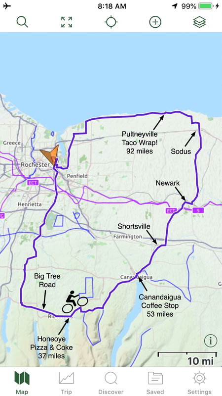
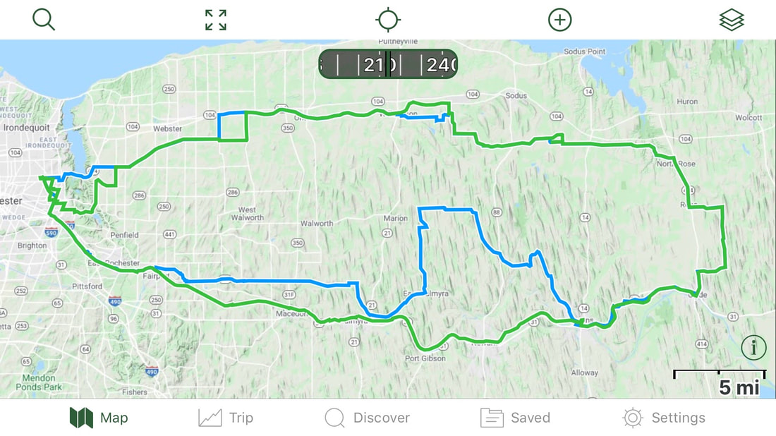
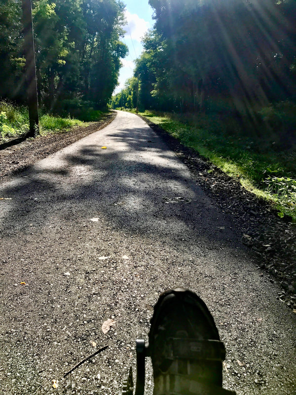
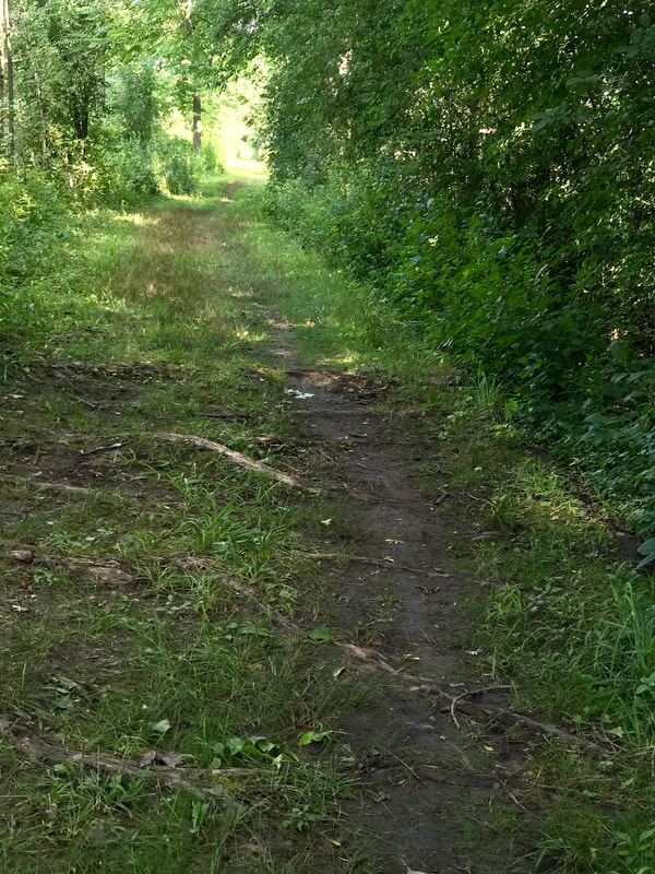
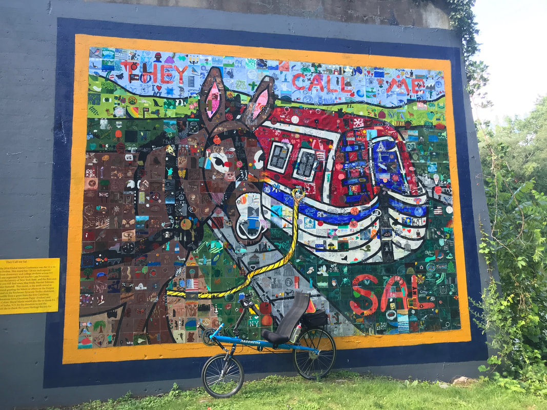
I took a straight shot down to Livonia via Clover Street / Route 65 and Poplar Hill Road. My reward came in the form of shiny smooth pavement on Big Tree Road leading out of Livonia headed toward Honeoye. One of my favorite roads, Big Tree is particularly fun when you head east bound with solid Northwest tailwinds! At mile 38, I stopped in Honeoye for a slice of pizza and a coke just before the climb into the Bristol Hills via Honeoye (US20A) and Bristol Roads (CR21). This route, from Honeoye through Bristol Center and into Canandaigua on CR32 always triggers the Wayback Machine for me, as it's part of the Gear '80 Hilly Century. Our club hosted the Great Eastern Rally in 1980 (and again in 1993) based in Geneseo and at the ripe age of 24, I led the Hilly on a day that rained most of the day. Standing in the rain at the top of the hill just east of Bristol Center and looking at the next hill to the west was "intimidating". I'll never forget it. My next stop at mile 53 was in Canandaigua for a coffee at Dalai Java. By this point, the hills of the ride are done and heading north leads to gently rolling terrain of the Wayne County drumlins. No need to stop in Shortsville, no need to stop in Newark, and no need to stop in Sodus as it was a cool day and I had plenty of water on board. But when I got to Lake Road and turned east into the headwinds, I REALLY craved for a stop, but the next place was Pultneyville. At mile 92 in Pultneyville, I took a break. Ordered a Taco Wrap. And a coke. And I sat looking at my progress. By this time, my overall average speed had dropped to 14.9. I was facing another 25 miles of headwind, at the least. Not expecting a winning performance today, I rested and ate, and killed 30 minutes surrendering to the moment. I packed 1/2 of my wrap in the camelback, and rolled on. Although it started slowly, my speed began to pick up as the wind began to soften just a bit. Just a bit, but enough. I pulled into the driveway and stopped the clock. 121 miles in 9:48. Shocked. I bested our "typical average" of 10mph by better than two hours. Saved Century #19 to the log, then early to bed. In the mood for a "gentle" ride to match today's gentle weather predictions (temps, anyway), I pulled out my "lazy bike", a Bachetta Giro recumbent touring bike for the 1st time in … well … a long time, and got on the road in an unhurried manner. I had plotted a route for another century+ (in blue on the map), but my curiosity got the better of me in Fairport and sent me down the Erie Canalway Trail (in green). You see, I've been looking at the Canal Trail's interactive trail map on the Parks and Trails New York website. It's an amazing resource and if you play with it a bit, you'll quickly understand why I'm mesmerized by it. And tempted as well. Nothing new jumped out at me till I got just past Macedon. I've always known about an earlier and defunct canal lock (Enlarged Erie Canal Lock 60) just off the side of the existing canal, but never stopped to really check it out. To say it's been "well cared for" doesn't do it justice. I highly recommend a visit. It's accessible via Quaker Road, just east of O'Neil Road, just east outside of Macedon. If you are on the canal trail by Lock 30, continue out on the north side of the canal, cross O'Neil onto Quaker. It will soon be on your right and there's a sign. Perfect picnic stop! On into Palmyra, back on the trail at Aqueduct Park, back to the north side at Muddy Waters and headed to Newark, the new developments appear. A few weeks ago, I was diverted off the trail due to workers clearing trees. A couple weeks back, a group of friends riding through Newark were told of a paving operation on the trail. Today, I got to see the results. I admit, dirt or pavement, it's all the same to me, but I understand how these improvements are A Good Thing™ for many trail users. Thank you Canal Corp! And yes, I confess, my speed picked up a bit flying into Newark. After Newark, I was in Unfamiliar Territory, trail wise. I have never followed the trail east of Newark, so today's adventure really begins here. From here to Clyde, I find that the trail has nicely finished sections (paved or stone-dust surfaces) alternating with detours out onto parallel roads. One such road was "Old Route 31" which is little more than a lane-and-a-half worth of nice pavement, but the signed and marked trail fully consumes a full half-lane of it. Sweet! But another section was a surprise. It appeared that one section had (perhaps?) recently received a nice new stone-dust treatment along the old canal prism and then abruptly stopped mid-trail in the woods. Beyond that point was little more than a rough and rooted single track, and I'm not riding the best bike for these conditions. Not knowing what lies ahead, I move ahead. Slowly. It eventually leads to a private driveway crossing where continuing forward is prevented by a gate with private property signs on it. Having had experience working on rail-trail "issues" elsewhere, I guess (without evidence) that there's a local resident squatter problem that needs addressing. I head down the driveway to the road alternate and get back ON the trail past "The Issue", whatever it might be. But on the way there, I visited the village of Lyons from a "trail" perspective that I don't get from road-riding the area. And I discovered why there's a spur road in town called "Drydock Road". Duh. There's a dry dock right there on the canal! Pretty Cool! I learned about the two dry docks on the canal, how they store tugs and equipment there over the winter, and a bit of history. It seems that the Hotchkiss family, that I learned of on the Peppermint Kiss ride, had an unfortunate time there. The son of Hiram Hotchkiss worked on the Dipper Dredge #3 and was killed in an accident. The Dipper Dredge #3, apparently no longer in service by the looks of it, is on display there in the dry dock. Also in Lyons is a huge mural featuring "Sal", the mule made famous by Pete Seeger in the song "Fifteen Miles on the Erie Canal". Eventually, and slowly, I made it to Clyde and stopped for lunch at the bike-friendly Kee Kee Cafe for a grilled cheese panini and a coke. From here, I mostly reverted to my originally planned route, with a detour and backtrack at a bridge out and a couple mindless alterations, back toward Rochester through the Wayne County drumlin field, and not very quickly due to "noticeable" headwinds. Century #18: 103 miles. Tired, but not sore, I packed the Lazy Bike away, wondering when is the next time I pull it out, and when will I get around to cycling the entire length of the Erie Canalway Trail?
Soon, I hope. |
Archives
October 2024
|



 RSS Feed

